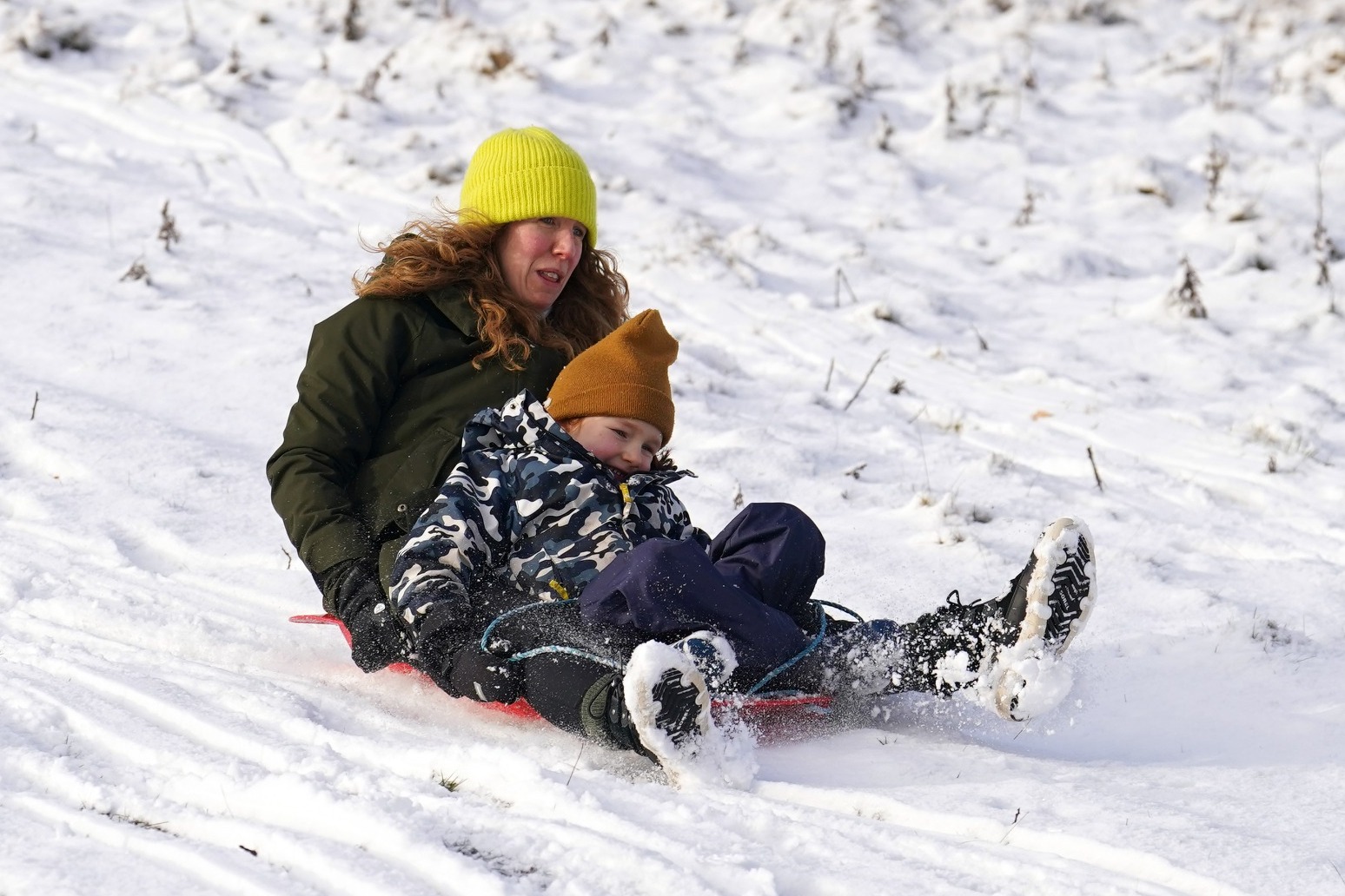
UK shivers through another frozen night as cold snap continues
The UK has shivered through another cold night as weather warnings for snow and ice are in place throughout Thursday.
Much of the UK endured temperatures below freezing overnight, with preliminary data from the Met Office indicating the mercury fell to as low as minus 11C in England and minus 10C in Scotland.
It comes after the UK had its coldest night of the winter so far on Tuesday, when Dalwhinnie in the Scottish Highlands experienced a temperature of minus 14C.
Although the temperature did not reach the forecast lows of minus 18C overnight, the cold weather is expected to linger over the coming days.
An amber warning for snow across northern Scotland, the Orkney and Shetland Islands is currently in place until 6pm on Thursday, with the potential of up to 20cm more snowfall.
Other parts of Scotland and Northern Ireland have a yellow snow and ice warning spanning the whole of Thursday, while the north and northwest of the UK are likely to see further wintry outbreaks over the next 24 hours.
Separate, shorter snow and ice warnings are in place for Wales and south-west England, until 11am on Thursday, and in eastern England until midday on Thursday, as both areas could see wintry showers that lead to icy patches.
A final yellow ice warning for south-east England, including Kent, Surrey and East Sussex, will run until 10am on Thursday.
Met Office Chief Meteorologist Jason Kelly said: “With deep snow already lying on the ground for many in the northern half of the UK, we’re going to see a significant topping up of totals over the next couple of days, especially for those in the north of Scotland.
“Within the amber warning area, an additional 15-20cm of snow is possible in a few locations.
“Strengthening northwesterly winds will also cause some lying snow to drift, potentially bringing some additional hazards, such as temporary blizzard conditions.”
Travel warnings are also in place across Scotland.
Minister for Transport for Scotland Fiona Hyslop said: “We know from recent severe weather events that it’s important to plan ahead if you are looking to travel. With the Met Office issuing an updated amber warning for snow in the North Highlands and Northern Isles, travel planning becomes vital.
“Police Scotland is warning of a high risk of disruption for the parts of the country covered by the amber warning, but yellow warnings can also be impactful and cause delays. Please allow extra time for your journey and consider if it can be delayed until conditions have improved.”
She added: “Winter resilience plans have been in full effect with teams across Scotland working overnight to grit the trunk road network for essential journeys. Local roads may also be impacted, so please make sure your route is available, follow the travel advice from Police Scotland and drive to the conditions.”
National Rail warned the wintry weather could affect train journeys on Thursday.
The broader National Rail network will be impacted, with Great Northern, Thameslink, ScotRail and South Western Railway already impacted by delays.
Another frosty night is forecast into Friday, and while it will be breezier with more cloud in places, lows of minus 10C will again be likely in some areas.
Wind coming in from the Atlantic in the west will then take charge through Friday and into Saturday, bringing much milder, wet and windy weather for the weekend.
Published: by Radio NewsHub