Rare red warning for wind issued for parts of South West as Storm Goretti nears
A rare red warning for “dangerous, stormy” winds has been issued by the Met Office for south-west England, with Storm Goretti set to bring 100mph gusts.
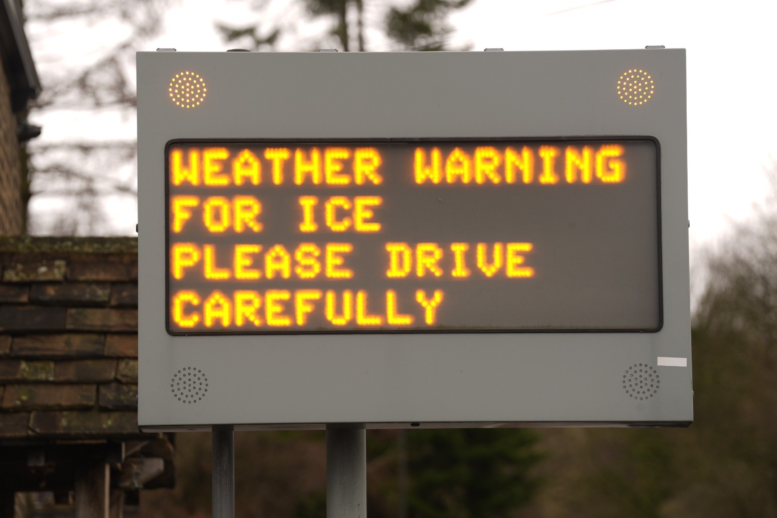
The warning, from 4pm until 11pm on Thursday, says “violent gusts” over two to three hours will hit parts of Cornwall and the Isles of Scilly. Peak winds of 80-100mph or more in exposed areas are also expected, the forecaster said. The warning says people should expect damage to buildings and homes, very large waves, flying debris resulting in danger to life, power cuts and public transport cancellations. The Cabinet Office said that it is issuing two emergency alerts to the phones of those in affected areas, with around half a million people expected to receive one. A spokesperson said: “The emergency alert system will send a message to every compatible mobile phone in the impacted areas, containing information about the red warning and guidance on how to stay safe. “Compatible mobile phones will make a loud siren-like sound even if they are set on silent. The sound and vibration will last for about 10 seconds.” A red warning means dangerous weather is expected and action should be taken to keep safe from the impact of it, the Met Office says. The forecaster’s description of the colour red on its website reads: “It is very likely that there will be a risk to life, with substantial disruption to travel, energy supplies and possibly widespread damage to property and infrastructure. “You should avoid travelling, where possible, and follow the advice of the emergency services and local authorities.” Network Rail said all trains in Cornwall will be suspended from 6pm on Thursday because of an amber weather warning for strong winds. In Devon, trains on the Exeter-Okehampton and Exeter-Barnstaple routes will be suspended from the same time because of forecast high-wind speeds. Passengers are advised to travel earlier and not to attempt travel late this afternoon. Services on affected routes are expected to be disrupted on Friday morning. Replacement road transport will not be available as road conditions are also expected to be affected by the weather. RAC breakdown spokesperson Alice Simpson said: “A red weather warning is every bit as serious as it sounds: avoid the roads – unless absolutely essential – until the storm winds have passed. “With the worst conditions expected in Cornwall and the Isles of Scilly, we strongly urge motorists in these areas to stay safe by parking well away from trees that could be uprooted by the strongest winds the area has seen in years. Exposed routes and coastlines pose the greatest danger as motorists are completely exposed to the elements and risk being ‘buffeted’ across the road by sudden gusts.” The storm, named by French weather forecaster Meteo France, has been described as a “multi-hazard event” by the Met Office, with as much of 30cm of snow possible for parts of the UK. Weather warnings have been issued for snow, wind, rain and ice across the country, ahead of likely “disruption and dangerous travelling conditions”. Met Office chief forecaster Neil Armstrong said: “Storm Goretti will be a multi-hazard event, with the most significant impacts from snow in parts of Wales and the Midlands and the very strong winds in the far South West, though heavy rain in some parts of Wales and East Anglia also has the potential to bring disruption to many. “Goretti will bring snow on its northern edge, this most likely over Wales and the Midlands. Here accumulations of 10-15cm are likely, widely, with 20-30cm possible in some places, especially higher ground in Wales and the Peak District. “An amber warning has been issued where the greatest risk of disruption is likely on Thursday night into Friday morning. “This is a complex spell of severe weather and I’d advise people in the warning areas to keep up to date with the forecast and messages from local authorities.” The BBC reports that the storm will bring a “weather bomb” to the UK. Also known as explosive cyclogenesis, a weather bomb is caused when the central pressure in an area of low pressure falls rapidly. The pressure has to fall by 24 millibars in 24 hours to qualify. According to the BBC, Storm Goretti will see a pressure drop of 36 millibars in the 24 hours from 6pm on Wednesday to 6pm on Thursday. The Met Office said that winds during a weather bomb can be “strong enough to bring down trees and cause structural damage”. A yellow warning for wind has also been issued for the rest of the south coast and Wales, where gusts of up to 70mph are forecast. The weather service said the “exceptional” wind speeds could be stronger than recent storms such as Ciaran in 2023 and Eunice in 2022. Meanwhile, an amber warning for snow runs from 8pm until 9am on Friday covering parts of Wales, the Midlands and Yorkshire. The Met Office said rain associated with the storm in these areas will turn to “heavy snow”, which may lead to some rural communities being cut off. About 10-15cm of snow is likely across the warning area, with up to 30cm on higher ground in Wales and the Peak District.
Published: by Radio NewsHub