Fog warning but UK 'over the worst' say experts
Forecasters have issued a further weather warning for fog this weekend – but said the UK is “over the worst” of the cold snap.
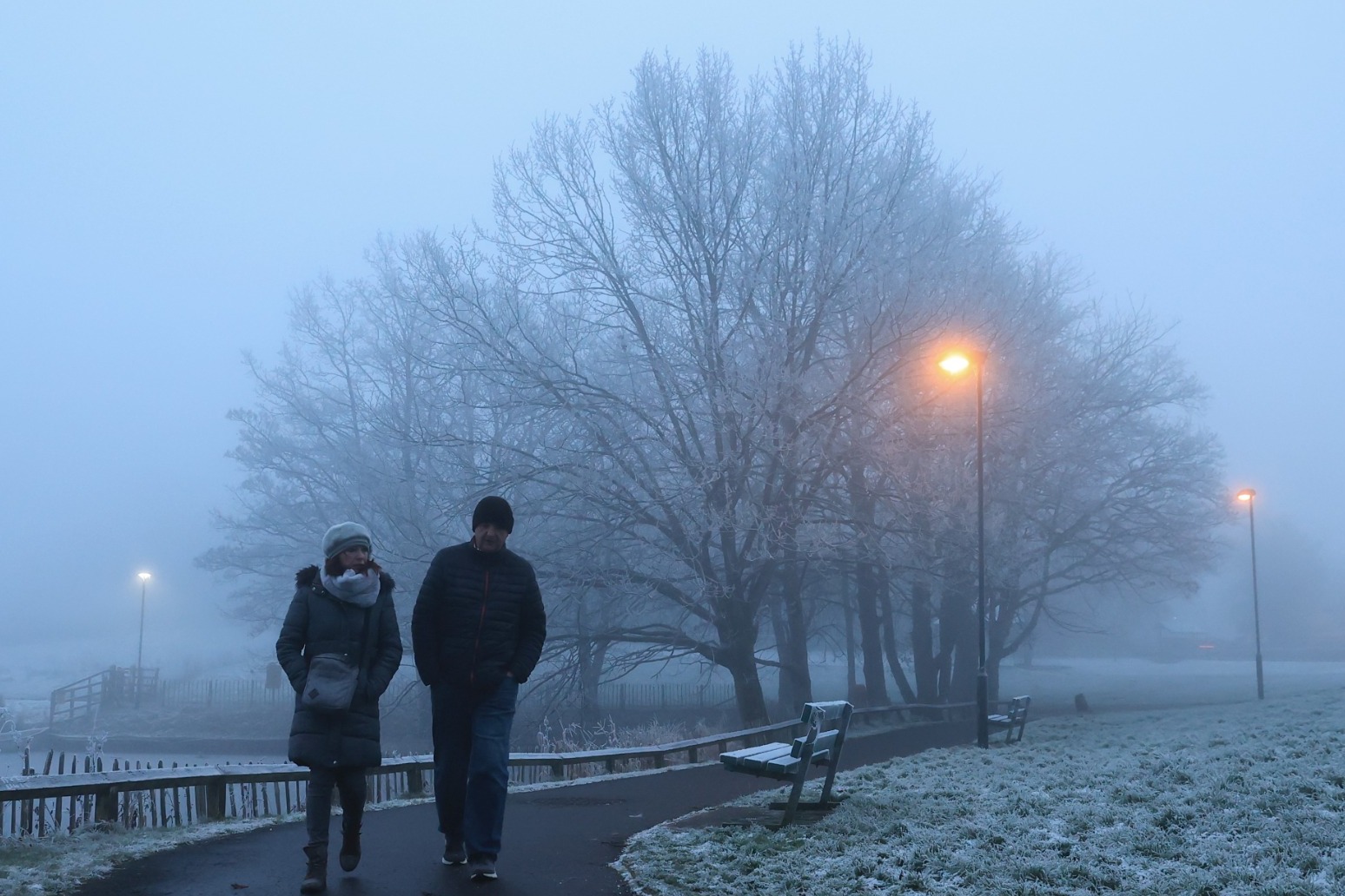
The Met Office said parts of England will be hit by difficult driving conditions while freezing temperatures could see untreated surfaces become slippery.
The yellow weather warning will be in place between 2am and 11am on Sunday, with Yorkshire down to East Anglia expected to see the densest fog.
It means travel delays are likely and flights could be cancelled.
A “moderate” air pollution alert has also been issued by mayor Sadiq Khan in London, where the foggy conditions are causing poor dispersion of vehicle emissions.
He said: “On Sunday, alongside the extreme cold temperatures we’ve been experiencing, we are also expecting moderate to high levels of air pollution.
“We all need to be careful over the next few days. I’m urging Londoners to look after each other by choosing to walk, cycle or take public transport, avoiding unnecessary car journeys, stopping engine idling and not burning wood or garden waste, all of which contributes to high levels of pollution. This is particularly important in order to protect those who are more vulnerable to high pollution.”
But Met Office meteorologist Craig Snell said the worst of the cold spell is over, with temperatures expected to climb next week across the whole of the UK.
Mr Snell said: “Next week, looking at the severe front, it’s looking pretty benign.
“We’re starting to lose the risk of fog and temperatures are generally around where they should be.
“We’ll probably lose the really hard frosts. In terms of ice and snow, it certainly looks like we’re over the worst.
“We’ve got to keep an eye on risk of fog generally this cold spell, although the main hazards from it look like they are beginning to diminish.”
Overnight temperatures across the country are still forecast to be sub-zero during the weekend, and will climb to highs of around 5C in the South East and 10C in the North.
Mr Snell explained the temperatures would be lower in the South – which is often warmer than other areas of the country – because of a change in wind direction in the North West.
The change will see an Arctic blast that swept across the UK over the past five days giving way to warmer air from the Atlantic, but will take longer to reach southern areas.
Several sports fixtures have been called off and travel cancelled on Saturday following the freezing conditions.
The Sky Bet Championship match between Blackpool and Huddersfield was postponed due to a frozen pitch and a race meeting at Haydock was cancelled because of an icy track.
The CalMac ferry, which operates services from mainland Scotland to the islands off its west coast, also cancelled sailings due to the weather.
National Rail said there was disruption to trains between Three Bridges in Wessex and and Brighton, Hove and Sussex due to a points failure but did not specify whether this was caused by ice.
It comes after temperatures plunged below minus 10C in parts of the UK this week amid snow and icy conditions.
Drumnadrochit near Inverness in the Highlands hit minus 10.4C in the early hours of Thursday, making it the coldest recorded temperature of the year so far.
Manchester Airport was also forced to close both its runways for a period due to heavy snowfall.
Published: by Radio NewsHub