
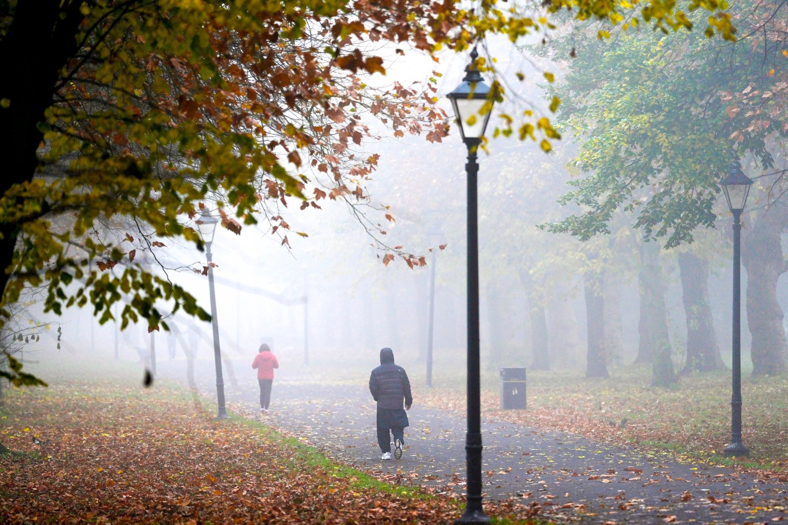
Fog leads to air pollution alert and weather warnings
Dense fog has led to a “high” air pollution alert being issued in London, as forecasters warn of transport delays and difficult travel conditions across much of the country.
Government monitoring recorded the South East and East Midlands as having “high” pollution, with Greater London recorded as “very high”.
The Met Office earlier issued a yellow fog warning for parts of England and Wales, with visibility reduced to less than 100m in some places overnight.
Forecasters at Imperial College London advised Lord Sadiq Khan of Tooting to trigger the alert “after dense fog and very light winds allowed pollution to build up over the weekend, and linger into Monday morning”, according to the mayor’s office.
It said that smoke from Bonfire Night and Diwali fireworks “is likely to have contributed”.
Londoners have been advised to walk, cycle and use public transport more frequently, drive less and avoid unnecessary burning at home.
Mete Coban, the deputy mayor for environment and energy, said: “Toxic air is responsible for thousands of premature deaths in London each year, which is why the mayor has done everything in his power to tackle it, which includes launching the world’s largest clean air zone.
“It is really important we all do our bit to protect those who are most vulnerable as we continue working to build a safer and greener London for all.”
The alert is the fourth issued in the capital this year, with the last one made in June during a heatwave.
A yellow fog warning is in place until 10am on Tuesday, with the Met Office forecasting a “night of dense fog”.
The affected area stretches from Luton to Manchester, covering parts of central and northern England and Wales.
The Met Office has said slower journey times with delays to public transport are possible, with a chance of delays or cancellation of flights.
The fog is expected to develop across the warning area on Monday evening and will become dense at times overnight – with visibility reduced to less than 100m, according to the forecaster.
It will thin and clear during Tuesday morning, but will give way to cooler and frosty weather later in the week.
Met Office chief meteorologist Jason Kelly said: “Persistent high pressure has brought light winds and clear skies, allowing fog to form, while weak November sunshine has meant it is fairly slow to clear.
“We’re expecting one more night of dense fog, with a warning in place for some areas. Increasing cloud and wind should then limit further widespread fog from developing.”
Freezing fog is possible further north on Tuesday, according to the Met Office, and temperatures are expected to fall low enough overnight for frost across parts of Scotland and northern England.
The forecaster has said persistent rain is possible towards the south-west, with some also affecting the south coast and western and southern Wales during the morning.
In the afternoon, cloud and rain will push north into central and southern England, Wales and the Midlands.
Published: by Radio NewsHub