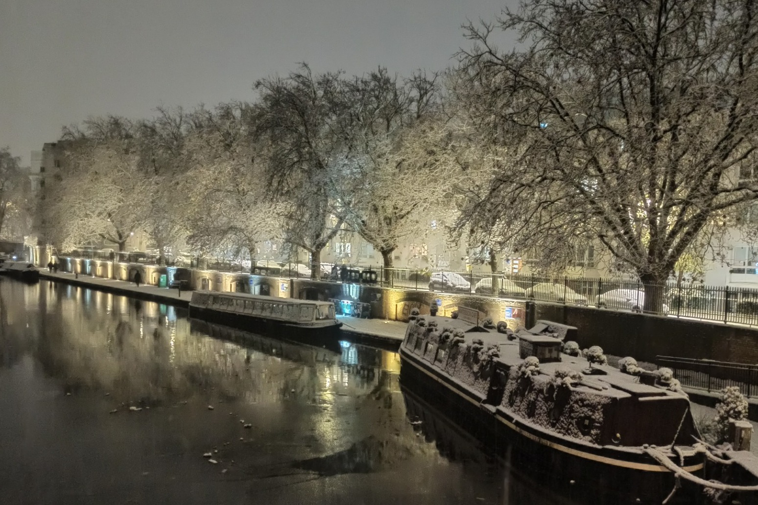
Cold snap continues as drivers warned of icy conditions during Monday rush-hour
Yellow warnings for snow, ice and fog are in place for much of the UK
Travel disruption is expected to push into Monday’s morning rush-hour as yellow warnings of ice, fog and snow are in place for much of the UK.
The Met Office issued the alerts as temperatures were expected to stay well below freezing overnight and combine with wintry showers to create icy conditions.
Snowfall on Sunday evening forced airports to close their runways and left drivers struggling to get through.
The warnings came as four children were taken to hospital in critical condition after being rescued from a lake in Solihull in the West Midlands on Sunday afternoon after falling through ice.
Richard Stanton, area commander for West Midlands Fire and Rescue Service, said: “We know that the weather forecast for the next few days is expected to be bitterly cold, please, adults and children alike, stay away from open water, under no circumstances venture on to ice regardless how thick or safe you think this ice may be.”
Road users in the South East were being asked by National Highways not to travel unless it was essential due to heavy snow already falling on Sunday evening, with up to 10cm of snow forecast.
Kent was being particularly hard hit, with snow severely impacting the M2, the M20 around junctions 8 and 9, the A21 and the A249, with drivers struggling to get through, the organisation said.
National Highways duty operations manager for the region Gina Oxley said: “We have been out gritting throughout the afternoon and we’re continuing to treat routes so we can reach the worst-affected areas and support our customers with their journeys.
“For anyone thinking of travelling (on Sunday night), our advice would be not to unless absolutely essential as heavy snow is expected to continue until 9am (Monday).”
Airports were also being affected, with both Gatwick and Stansted having to close their runways to clear snow on Sunday.
The Essex airport said in a statement: “London Stansted Airport’s runway is currently closed to allow for snow clearance due to weather conditions and all flights are currently suspended.
“Delays to flights were experienced earlier due to de-icing of aircraft which is a ground handler’s responsibility and safety of aircraft and passengers is paramount.
“Passengers are advised to check with their airline for current status of their flights.”
Gatwick posted on Twitter: “Sunday 11/ Monday 12 December: Snow and freezing weather may cause disruption at the airport. Passengers are advised to check flight status with their airline – and also local travel conditions – before departing for the airport.”
National Rail said snow and ice had caused severe disruption across the whole of its south eastern network on Sunday night and delays would continue into Monday, “particularly in the morning”.
“To allow Network Rail to check that the rails are clear of snow and ice, which can prevent trains from drawing power from the electric rail, the first trains in each direction on all routes will be cancelled,” it said.
“We also have many trains in the wrong location after last night’s disruption, which will cause further cancellations to services across the network.”
Newspaper distribution, including of The Times and The Sun, experienced significant disruption overnight which may flow on into delivery delays “in many parts of the country”.
News UK said in a statement that severe weather in the South East had impacted Newsprinters in Broxbourne.
“We apologise to retailers and customers who are not able to get a copy of their usual newspaper. Newsprinters will make continued efforts to deliver newspapers to retailers during Monday,” the statement said.
“Please follow our websites and apps for news and further updates.”
The yellow warnings are in place from Sunday until Monday morning for northern and south-western Scotland, Northern Ireland, north-eastern England, the Midlands and South West as well as London and the South East.
Met Office meteorologist Rachel Ayers said: “It will continue to be a very cold day, with maximum temperatures of 1C to 4C on Sunday, and, as we head into the evening, we see persistent rain, sleet or snow in the far South East of England, which is what we have a yellow warning out for from 6pm on Sunday.
“We could see 2cm to 5cm (of snow), perhaps up to 10cm in some places, with Kent and Sussex most affected, with areas most exposed such as North and South Downs and higher ground going to see the more significant accumulations.
“There will be ice forming, particularly near to the coast where there is rain and sleet, and freezing temperatures which could cause some travel disruption to start Monday with that valid until 9am.”
Ms Ayers said that although cold temperatures, freezing fog and wintry showers are expected through the week, cloud cover could prevent some of the more extreme temperatures experienced in recent days.
She added that there is a possibility of slightly milder conditions arriving next weekend but it is too early to be certain.
The AA has advised motorists to adjust their driving to the freezing conditions on Monday morning.
Published: by Radio NewsHub